A dual enrollment program that connects high school students to their community, builds valuable college skills and opens doors to STEM careers.
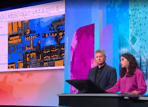
The Geospatial Semester is an innovative collaboration between high schools across Virginia and the College of Integrated Science and Engineering. It is supported by JMU's School of Professional and Continuing Education and ESRI. This unique program offers high school seniors the opportunity to explore geospatial technology through classes at their home schools, earning JMU credit while focusing on impactful local projects that bridge students, technology, and their communities.

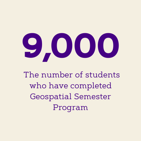
Recognized with awards and international attention, the dual-enrollment program stands out for three core strengths: a relevant, adaptable design; flexible, innovative instructors; and strong partnerships with higher education.