
Mapping an innovative course
News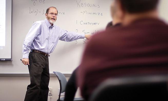
Faculty outreach strengthens Virginia high schoolers
By Martha Bell Graham
Reaching beyond the classroom is a concept that Bob Kolvoord embraces.
Kolvoord, interim dean of the College of Integrated Science and Engineering, co-created the Geospatial Semester, a class that combines the best of Madison's hands-on approach to learning with cutting-edge technology to teach Virginia's high-school seniors about the innovative field of geospatial analysis.
Geospatial analysis applies a variety of mapping techniques and technologies to the complex relationships between events, populations and the environment at a variety of geographic scales.
During a semester that melds highly inventive and technical training with classroom and hands-on learning, Kolvoord and two JMU colleagues work closely with high-school seniors and their local teachers, who teach the senior-level course in 18 high schools throughout Virginia.
The course is "a way to introduce technology and concepts that are not usually taught at the high-school level," Kolvoord says.
Students enrolled in the Geospatial Semester not only learn the technology, but they also use it. Working in teams, students employ GIS technologies to solve real-world projects for local businesses, governmental agencies or nongovernmental organizations such as the Nature Conservancy. Students have created evacuation plans for a small city, analyzed crime patterns and studied land conservation.
"Too often," Kolvoord says, "students were taking AP courses and coming to JMU unable to use what they had learned. The Geospatial Semester solves that."
Like AP and IB courses, enrolled students can earn college credit at JMU. Unlike those courses, however, students do not face standardized exams but are evaluated during an oral midterm, a final project presentation and close project mentoring, Kolvoord says.
The advantage of Geospatial Semester for students is obvious; less obvious is the opportunity for JMU to attract excellent students. According to Kolvoord, the program has become a "fertile recruiting tool." Quite a few students have chosen to come to Madison after taking the course, he notes.
In the program's eight years, more than 2,000 high-school students have taken the class and more than 30 high-school teachers have taught it. This year, 550 students are enrolled, and for the first time the program has moved beyond Virginia's borders. A school on Long Island, N.Y.,
is participating in the Geospatial Semester.