
The GES initiative at JMU aims to increase the efficiency and accuracy of University map production. Our collection of maps allows users to precisely locate campus buildings, lecture halls, offices, eateries, residence halls, and transportation hubs. GIS has become a powerful tool at JMU--acting as an essential resource for managing and monitoring JMU structures and systems.
To make a request for data or an inquiry about data availability, please email GES Supervisor Sam Hottinger.
Maintained datasets are always being updated and reorganized. Some examples include:
- Campus Boundaries/Properties
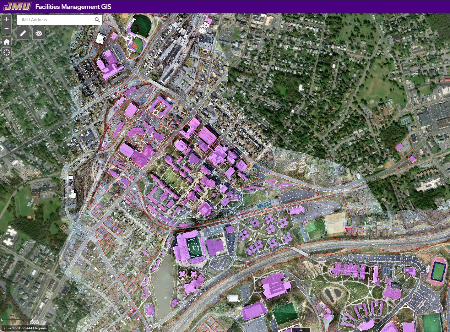
- Building Data
- Aerial Imagery
- Stormwater Infrastructure
- Utilities Data
- Addressing Information
- Lighting Data
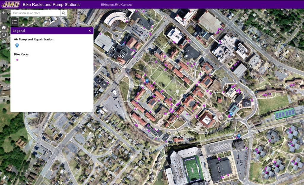
- Transportation and Bicycle Infrastructure
- Planimetric Data
Specialized datasets can also be collected. Examples Include:
- Drone imagery or video of specific Areas
- Survey data for special projects
Web Apps
Environmental Stewardship Tour

Bike Infrastructure Map
JMU GIS Map
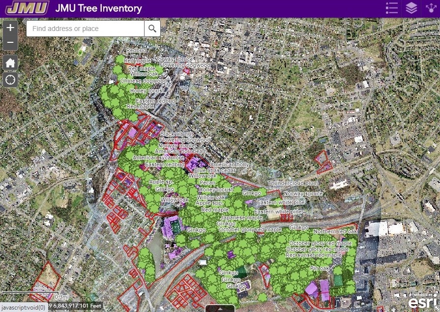
JMU Tree Inventory
Facilities Management