
Innovative geospatial programs turn high schoolers into GIS pros
Students apply new skills to help solve today's problems
Geography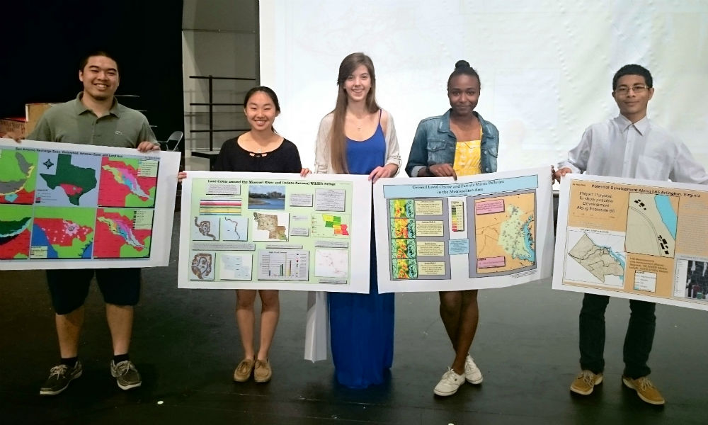
SUMMARY: At Washington-Lee High School in Arlington, Virginia, students have the opportunity to participate in an innovative program called Geospatial Semester, a collaboration between Virginia high schools and the Integrated Science and Technology department at James Madison University.
When we think of GIS professionals, our thoughts often fall into one of two categories: first, the seasoned professionals that have been working with the technology since its infancy —essentially the "Yodas" of geographic information systems, or alternatively, the newly graduated techies behind amazing innovations we couldn’t have dreamed of a decade ago.
We rarely think of high school students — but, believe it or not, there are a number of young, motivated individuals that are not only learning GIS while completing their secondary education, but who are also applying their new skills to help solve today’s most significant problems.
Geospatial Semester
At Washington-Lee High School in Arlington, Virginia, students have the opportunity to participate in an innovative program called Geospatial Semester, a collaboration between Virginia high schools and the Integrated Science and Technology department at James Madison University. As part of the program, students develop working relationships with professional agencies, assisting them in finding solutions to real-world problems. Several students have gone on to present their work at such prestigious events as the annual ESRI International User’s Conference, and to organizations including the U.S. Geospatial Intelligence Foundation, local school boards and partner organizations. Read the full story in Directions Magazine