Virtually everything JMU
Science and Technology
New “Experience JMU” website’s virtual tour brings JMU to your browser
By Amelia Wood (’13) with Bill Gentry
SMAD 408 Photos by David Casterline ('10)
Fifteen imaginative JMU students. One innovative professor. A huge hands-on learning project. One semester. Free of charge. The result? A virtual mixture that gives prospective JMU students and their parents a marvelous view of the Madison Experience that they can take in from anywhere.
From academics and student life to campus living and dining, prospective students and parents can see all of this and more on the new “Experience JMU” website at http://visitjmu.com.
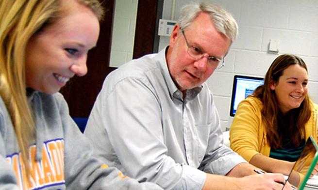
School of Media Arts and Design professor Steve Anderson and his 400-level Converged Media Lab seniors put together the website for the JMU Office of Admissions. “Building a new website complete with an interactive 3D map of JMU campus provided students with a perfect opportunity to work together,” says Anderson.
The website includes 3D images and a “virtual campus tour,” constructed and maintained on a JMU server by Anderson and his class. Much like Google Earth, the JMU virtual tour allows prospective students and parents to “visit” anywhere on campus and view the buildings and surrounding areas in 3D. “It’s like you’re standing right on campus,” adds Anderson.
With Anderson’s supervision, students used a program called Google SketchUp to construct the database of JMU buildings. After learning how to manipulate the program, students spent hours measuring buildings and taking hundreds of images to make the buildings look just right when they reconstructed them.
“I think my semester work log contained about four pages of detailed tasks amounting to about 70 hours, and that’s not counting the two and a half hours a week of class time,” says Dean Fleyzor (‘11), co-project manager of the student team.
In addition to the virtual tour project, the students combined the skills they have accumulated in the SMAD converged media program to build the rest of the website without Anderson’s help. Fleyzor and his co-project manager, Alyssa Barton (‘11), spent the first month of the project planning and setting goals. They detailed the types of pictures, video, text and web elements needed to include on each Web page.
The students spent September and October capturing raw footage for work on the Web programming portions. This included capturing panoramic views of popular campus areas. After assisting in the development of the initial project ideas, Barton focused more on writing content and working with the photo team headed by senior David Casterline (‘11), while Fleyzor’s interest lay in the Web development portion. The project provided more than hands-on learning and senior project work for both Barton and Fleyzor. “I realized how important it is to build relationships with peers,” says Barton. “I hope to use this experience when working with future clients and colleagues.”
Experience JMU is just one of an array of projects done by professor and student teams from multiple disciplines and academic areas — in conjunction with the JMU Center for Instructional Technology — using the Google Earth plug-in to create the university-wide project “Google Earth & Geospatial Projects on the Shenandoah Valley.” To show how the geospatial technology can be used in and out of the classroom, faculty members unveiled several projects including an interactive geologic map of the central Shenandoah Valley, a series of historical maps of the City of Harrisonburg and a look at some of the travels of President James Madison.
Anderson is proud of his students for their organization and efforts. “They completed the website in one semester and finished with great success.”
Take a virtual tour of JMU at http://visitjmu.com/.
