
Geospatial Program Named 2015 Programs That Work Awardee
College of Integrated Science and Engineering
By: Julie Stern
As it celebrates its tenth year of partnership with local high schools, the Geospatial Semester program at James Madison University (JMU) has earned another award.
In January, the Virginia Mathematics and Science Coalition selected the Geospatial Semester as one of the 2015 Programs That Work awardees. The Geospatial Semester is a program in which Virginia high schools partner with the Integrated Science and Technology Department at JMU to introduce geospatial technology to high school seniors.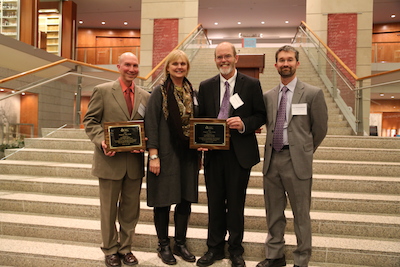
Dr. Bob Kolvoord, dean of the College of Integrated Science and Engineering at JMU, founded the program in 2005 with the help of Northern Virginia high school teacher Kathryn Keranen. Geospatial Semester is designed to give students an opportunity to learn new technologies and apply them to a local issue. The program focuses on helping students build spatial thinking and project management skills as they transition to higher education or the workplace.
“The close relationship between the Geospatial Semester students and the JMU staff helps create a very real college experience,” said Luray High School teacher, Tara Meadows. The program helps the seniors remain focused during their last semester of high school, and provides opportunities for them to work with professionals.
The Geospatial Semester has seen positive results. “It’s led to an increased interest in geography and brought a new group of geographic science majors to JMU,” said Dr. Kolvoord. “We’ve seen students engage in summer internships and support their communities with geospatial technology. Some students who had little engagement in school have found a passion in geospatial technologies and dramatically changed their attitude towards school and higher education.”
Through the program, seniors take geospatial technology classes in their home schools and earn credit from JMU. Classes focus on interactive projects, such as creating evacuation plans and maps for government agencies and businesses.
Most students seem to enjoy the interactive format, said Meadows, because it is a “welcome change” to the traditional classroom setting.
“[Students] begin to understand that real learning occurs when they are actively involved in the task,” she said. “Involvement in a project from its inception all the way to the analysis and conclusion provides students an opportunity to think critically about a topic of their choosing. This experience is really invaluable.”
In its 10 years, the program has partnered with 34 schools in 16 school districts and worked with nearly 3,000 students. The Geospatial Semester continues to grow and expand into additional high schools.
“We’ve taken a ‘slow growth’ approach and focused on schools with the components in place to be successful,” explained Dr. Kolvoord.
The Mathematics and Science Coalition Programs That Work awards recognize effective educational programs that create a positive learning impact. Awardees are selected on the basis that they represent innovative, exemplary programs that have proven effective; demonstrate important science concepts, skills, or processes; and document the impact on teaching and learning.