
GS welcomes Dudley Bonsal
College of Integrated Science and Engineering
By: Daniel Vieth, Creative Services
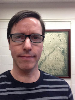 Interdisciplinary education has been an important goal across many academic units at JMU, but few showcase the potential for combining various sets of knowledge as effectively as the Integrated Science and Technology (ISAT) Department. ISAT strives to have faculty with experience in varied fields. With this goal in mind, ISAT and its Geographic Science (GS) Program welcomed Dudley B. Bonsal this semester. “I really feel at home here!” said Bonsal. “I’m looking forward to the opportunities available here at JMU.”
Bonsal received a bachelor's degree in English from Tufts University in 1990 and then spent several years outside of academia. While working at the Charles River Watershed Association, a non-profit organization in Massachusetts, he started to use geographic information systems (GIS). “The goal with GIS is to dive deeper into data by way of mapping,” said Bonsal. “GIS also requires critical thinking to effectively analyze and visualize data.” This work experience led Bonsal to return to school to earn his M.A. and Ph.D. in Geography from the Ohio State University and the University of Minnesota respectively. While earning his Ph.D., Bonsal also worked as an instructor, teaching courses in GIS and advising senior projects.
In addition to GIS, Bonsal has research interests in land use analysis, agent-based modeling, remote sensing, and cartography. “Cartography is more than just creating maps,” said Bonsal. “It involves using maps to communicate information or tell a story that can lead to new insights.” Bonsal’s dissertation focused on the mapping of flight departure patterns and the impact of aircraft noise on residential areas. His focus on noise springs from an interest in soundscapes. “A soundscape,“ he explains, “represents the acoustic component of the landscape and corresponds in interesting ways to surrounding land use and land cover patterns.” According to Bonsal, being at JMU offers the potential for region-based mapping projects that address land use and soundscapes. “We have the opportunity to conduct exciting research in the Shenandoah Valley given the proximities of the national park, urban areas, and rural farmland to one another.”
One of Bonsal’s biggest reasons for wanting to work at JMU was the interdisciplinary mission of ISAT and its GS program. “It’s important to have an intellectual arena where people with diverse ranges of expertise come together,” he says. Bonsal is currently teaching courses in cartography and GIS.